Digital Earth, Society, and Networks
Digital geospatial technologies and communication tools are radically changing our societies. Students will learn how to use and develop computing methods to address pressing societal and global challenges. This involves working with a diverse range of quantitative and qualitative data including environmental measurements, socio-demographic statistics, user-generated data, diverse network data and various sensor data. These are contextualized through spatial and temporal references to understand the real-world dynamics of societal and natural processes.
LearnLabs and technologies
Students gain experience across several labs during the program, but for Digital Earth, Society, and Networks, the strongest links are to labs and methods that help you understand complex systems through data, space, and time.
Key technologies and methods include:
- Digital geospatial technologies
- Network and sensor data
- Big data analytics
- Network analysis
- Natural Language Processing (NLP)
- Large Language Models (LLMs)
- Machine learning
- Socio-demographic statistics
- User-generated data (social media, mobile phone data, wearable sensor data, etc.)
- Computational methods for spatial and temporal analysis
Core LearnLabs include:
- Data Science Lab (DORO) – analyzing complex datasets, identifying patterns, and building data-driven models
- Human-Computer Interaction Lab (INES) – exploring how people interact with digital systems and data-rich environments

What you will work on
In Digital Earth, Society, and Networks, you work on projects that use digital methods to better understand how people, places, and systems are connected across space and time.
Across all projects, you move from real-world challenges → designing solutions and methodological workflows → identifying patterns and dynamics → reflecting and interpreting those patterns in terms of their real-world relevance.
Rather than working on isolated technical exercises, you develop projects that help explain how the world works across society, environment, and digital systems.
Typical projects focus on:
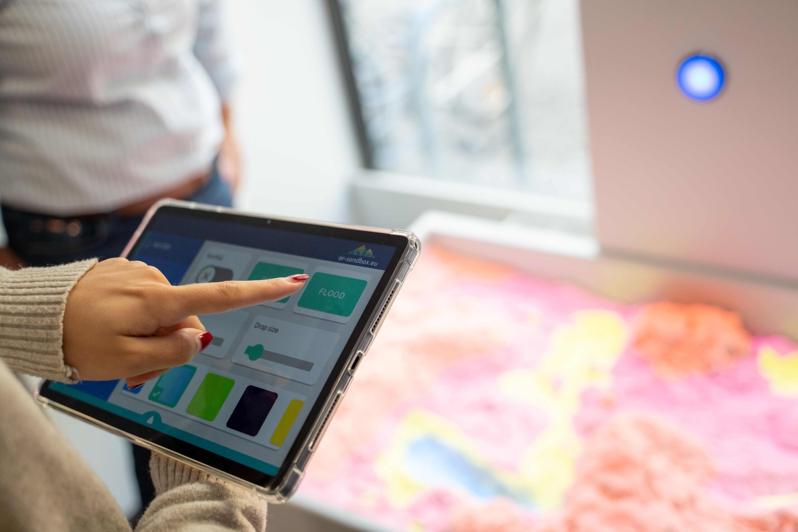
- Analyzing geospatial and social processes through digital data
- Semantic analysis: making sense of what users talk about on the internet
- Working with environmental, socio-demographic, user-generated, network, and sensor data
- Using computing methods to study real-world societal and global challenges
- Exploring how patterns change across different places and over time
- Turning complex data into insights that help explain how societies function and evolve
Project examples:
- Analyze user-generated digital data to understand movement patterns or social activity in a city
- Work with environmental measurements and sensor data to explore changes in urban or natural systems
- Combine socio-demographic statistics and spatial data to better understand economic innovation processes
- Study network data to reveal how people, places, or systems are connected
- Use digital tools to investigate challenges related to sustainability, mobility, communication, or digital society

Career directions
Digital Earth, Society, and Networks prepares you for careers where the goal is to understand complex social and environmental systems through data, technology, and spatial thinking.
What makes these paths attractive is that they sit at the intersection of some of today’s biggest challenges: computation and machine learning on one side, and digital society, climate, cities, mobility, and public decision-making on the other.
In other words, you are not only learning how to work with data. You are learning how to use data to better understand how the world changes, how societies function, and how technology can support more informed action. You master both technological fundamentals and customer-oriented project needs and management.
Career prospects:
This specialization is especially relevant for roles such as Data Scientist, Geospatial Data Analyst, Innovation Manager, Smart City Consultant, Mobility Planner, Network Analyst, Geospatial Solution Architect, Computational Scientist, and Researcher in Digital Society and Environmental Systems.
Who this path is for
Digital Earth, Society, and Networks is best suited for students who are interested in how people, places, and systems are connected, and who want to use data and digital methods to better understand real-world change.
You do not need to come from one specific background, but you should be curious about how societies function, how environments evolve, and how spatial and temporal data can reveal patterns across complex systems.
This specialization is a strong fit for students from bachelor programs such as:
- Geography, Geoinformatics, or Environmental Studies – who want to use digital methods to understand spatial and environmental change
- Computer Science, Data Science, or Statistics – who want to apply computational methods to societal and global challenges
- Sociology, Economics, or Political Science – who want to work with data to better understand social systems and public issues
- Physics, Mathematics, or other quantitative fields – who enjoy modeling complex systems across space and time
- Urban Studies, Planning, or interdisciplinary sustainability programs – who want to connect data, society, and real-world decision-making
In terms of mindset, this specialization fits students who:
- Want to understand how cities, societies, and environments change over time.
- Enjoy working with data, patterns, and system-level questions.
- Are interested in sustainability, mobility, digital society, or spatial systems.
- Prefer working across disciplines, rather than within one narrow field.
What makes this specialization at IT:U different?
Digital Earth, Society, and Networks at IT:U goes beyond traditional programs in geography, urban studies, or data science by combining societal questions, spatial thinking, and digital methods in one integrated learning experience.
Instead of studying social systems, environmental change, or data analysis in isolation, you learn how these dimensions connect across space, time, and real-world contexts. The specialization brings together digital geospatial technologies, communication tools, and multiple forms of data, including environmental, socio-demographic, user-generated, network, and sensor data, to better understand how complex systems behave and evolve.
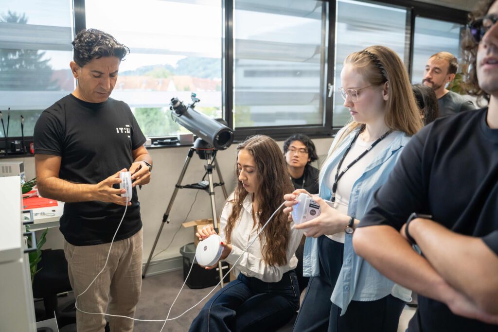
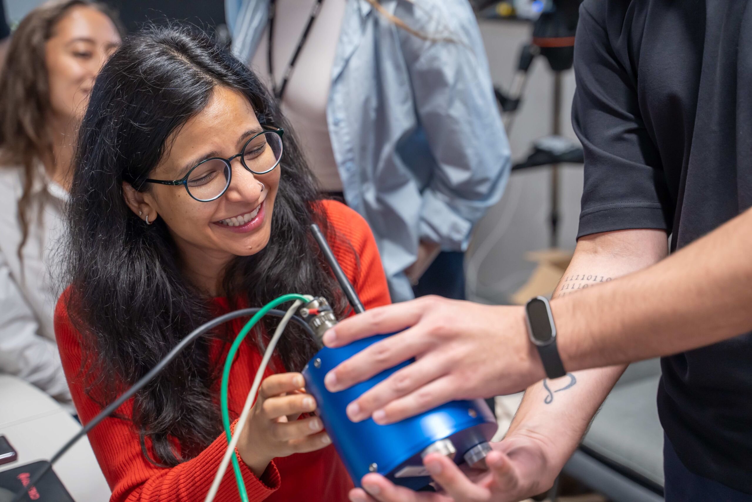
A key difference is the project-based and lab-driven approach. You do not just learn methods. You apply them in Learn Labs and interdisciplinary projects, using digital tools and computing methods to work on pressing societal and global challenges.
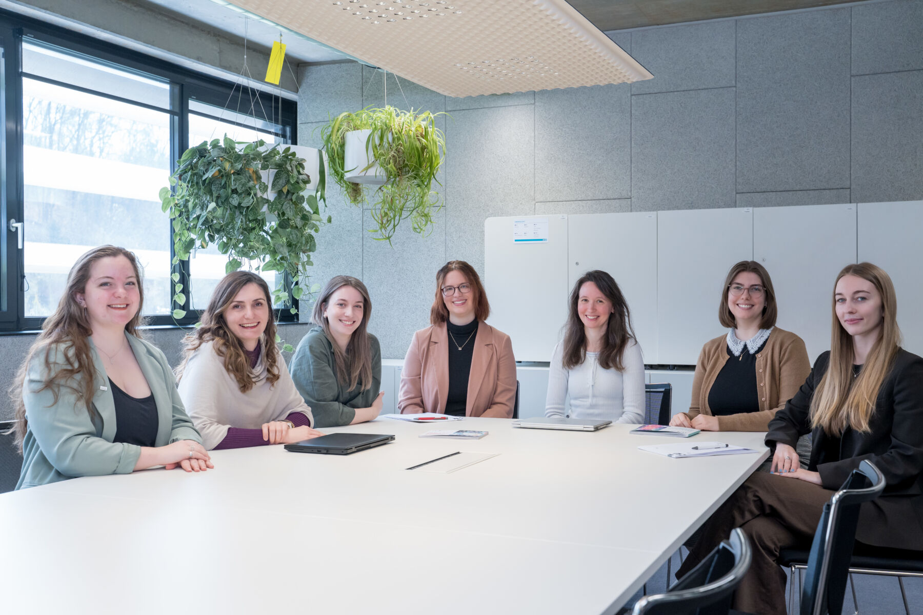
Another important aspect is the interdisciplinary environment.
You collaborate with students from different backgrounds and specializations, which reflects how real-world challenges are addressed by combining data, technology, and domain knowledge.
In simple terms, you do not just learn how to analyze data about the world. You learn how to use digital methods to better understand how society, environment, and connected systems change across space and time.

“In Digital Earth, Society, and Networks, students learn to turn complex geospatial, text, network and social data into actionable insight. Students build competencies in AI, data analysis, critical thinking, and interdisciplinary problem-solving, opening doors across industry, public innovation, and academia.”Bernd Resch, Professor of Geosocial Artificial Intelligence
You want to study at IT:U?
Are you ready to apply and start transforming tomorrow? Click below! We can’t wait to receive your application.
Gain hands-on experience, work across disciplines, and develop the skills needed for industry or academia in a project-based learning environment.